Backpacking Michigan's Manistee River Trail
11 Miles of Fall Beauty
This past month, I finally set out on my first backpacking adventure, exploring the 11 mile long Michigan trail known as the Manistee River Trail. It was a gorgeous trail following alongside a river that had smaller creeks with tiny falls and that featured a stunning suspension bridge at the end. The trail also gets very close to a stunning dam where the river meets the Hodenpyl Dam Pond. Let me share with you the positives and negatives of this venture!
TLDR - You want to come as prepared as possible but balance that with as light a backpack as you can. Every pound of weight counts! Backpacking can be serene and relaxing if you plan properly. Here is a short aerial highlight video of the Manistee River Trail, and here is a short Tiktok of the trails from the ground.
Overall, my thoughts on this venture are split between “WOW, this was a stunning two-day trip with some amazing sights!” and “OW, my legs hate me!”.
Some background on why this trip happened - I am a photographer, not a hiker. I hike only because I want to go take a photo somewhere a road won’t let me go to otherwise. I have sourced some amazing spots that are SO stunning I have decided I simply must get to them; however, they will require backpacking (the most extreme being potentially up to 6 days in the Arizona desert and traveling 20 miles in an area with literally zero resources, including water).
In preparation for that planned trip, this short two-day trip served as a test of my entire setup. It often came down to finding the item I needed in the lightest weight possible, as every pound counts. I learned two important lessons: I need a lighter backpack, and I need a lower temperature rated sleeping bag. My total backpack clocked in at about 45 pounds, when no more than 40 was likely suggested based on my weight (the suggestion is to carry no more than 20% of your weight). My backpack was likely about 10 of those pounds, an area that can easily be trimmed down. It also got as low as 28 degrees at night and despite a full outfit of thermal gear, my 40 degree rated sleeping bag did not cut it. I survived…obviously…but would rather have NOT been freezing at night.
It’s worth confessing that our original itinerary was to complete the full North County Trail / Manistee River loop, a 19.2 mile hike. We quickly realized we would not have the stamina for such an adventure in two days and ended up just doing the full 11 mile Manistee River Trail. Some very friendly hikers gave us a ride back to our car once we reached the end.
Other than THOSE problems, which did result in being very sore afterwards and much of the hike being very exhausting, the hike itself did feature some stunning fall views that we greatly enjoyed! I was absolutely in love with the very narrow path fully covered in fall leaves that wound precariously along the hills, immersing you fully with nature as the trail became faint at times to find (worst case - no fear! - I came prepared with the AllTrails app and the trail in offline mode; additionally I came prepared with a solar charger and a satellite device so I always can get a signal and have power).
“We” - I forgot to mention, but I didn't travel alone but instead with my closest friend of over 16 years, Josh Walker. Yes - the same fella I dragged to Route 66 fresh out of High School for two weeks!
Some favorite moments include the actual camping experience and then some of the featured locations at the end.
Camping - This trail features dozens of camp sites for you, which were pretty simple, but a nice cleared out area with a firepit ring go a long way. The camp sites were often in stunning spots, with ours being right against the river. We enjoyed setting up camp, making a fire, and we enjoyed the sound of the river all night.
Featured locations - The 2nd day of our hiking ended with some of the more exciting sights. (1) There was an official “waterfall”, which was pretty small and not terribly exciting. However, just a bit further up FROM said “waterfall” was a stunning section of cascading falls that I greatly enjoyed. (2) There was also a beautiful suspension bridge at the very end, as well as (3) the Hodenpyl Dam that connects the pond to the Manistee River.
You can bet I took every opportunity to take some stunning drone shots, which really showcased the river and fall foliage across the hills. But without further ado, as this IS a photographers blog, here are my favorite images with more details in the captions.
Comment below if you have backpacked before or are interested in doing so!
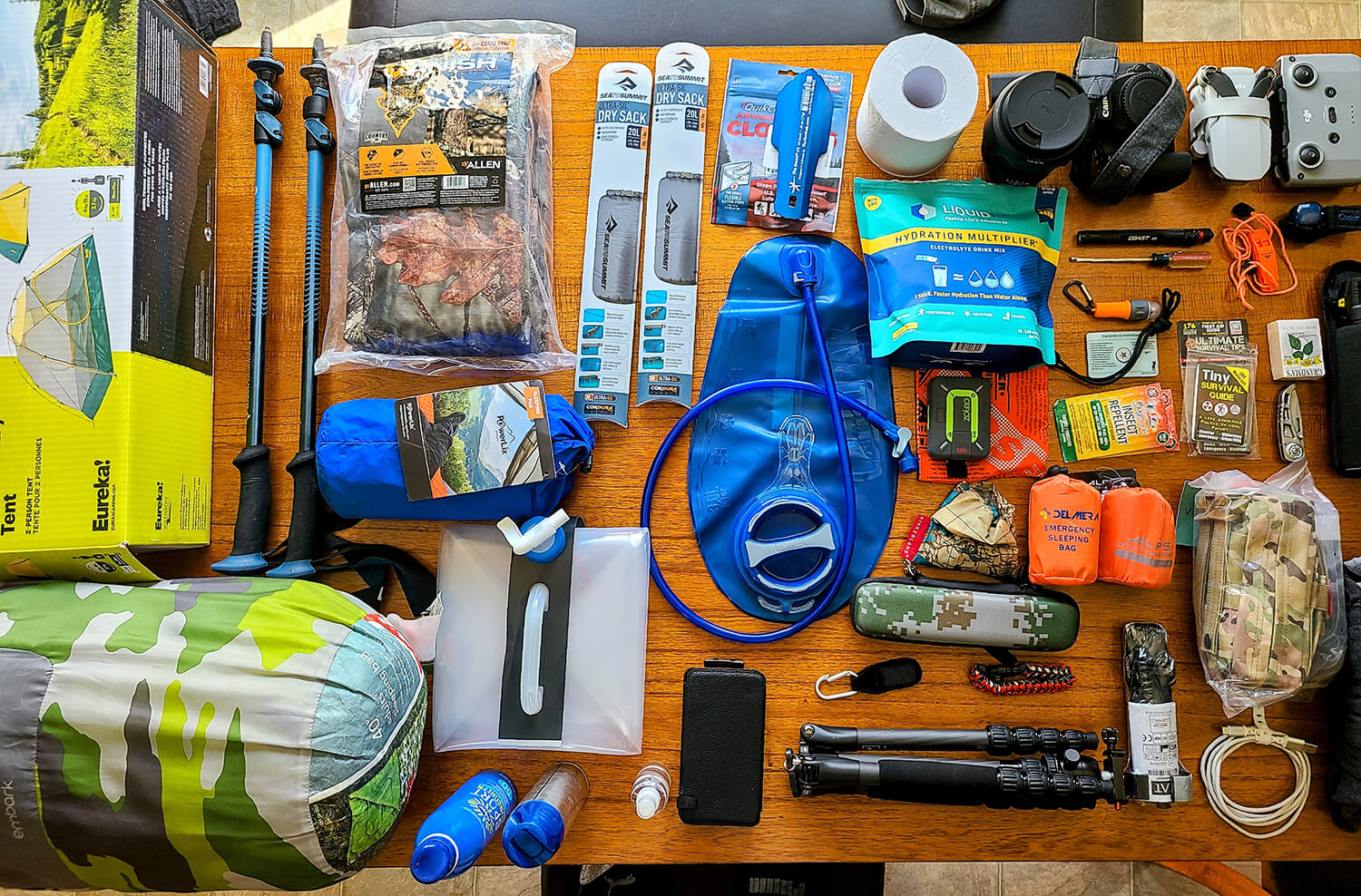
Gear Loadout
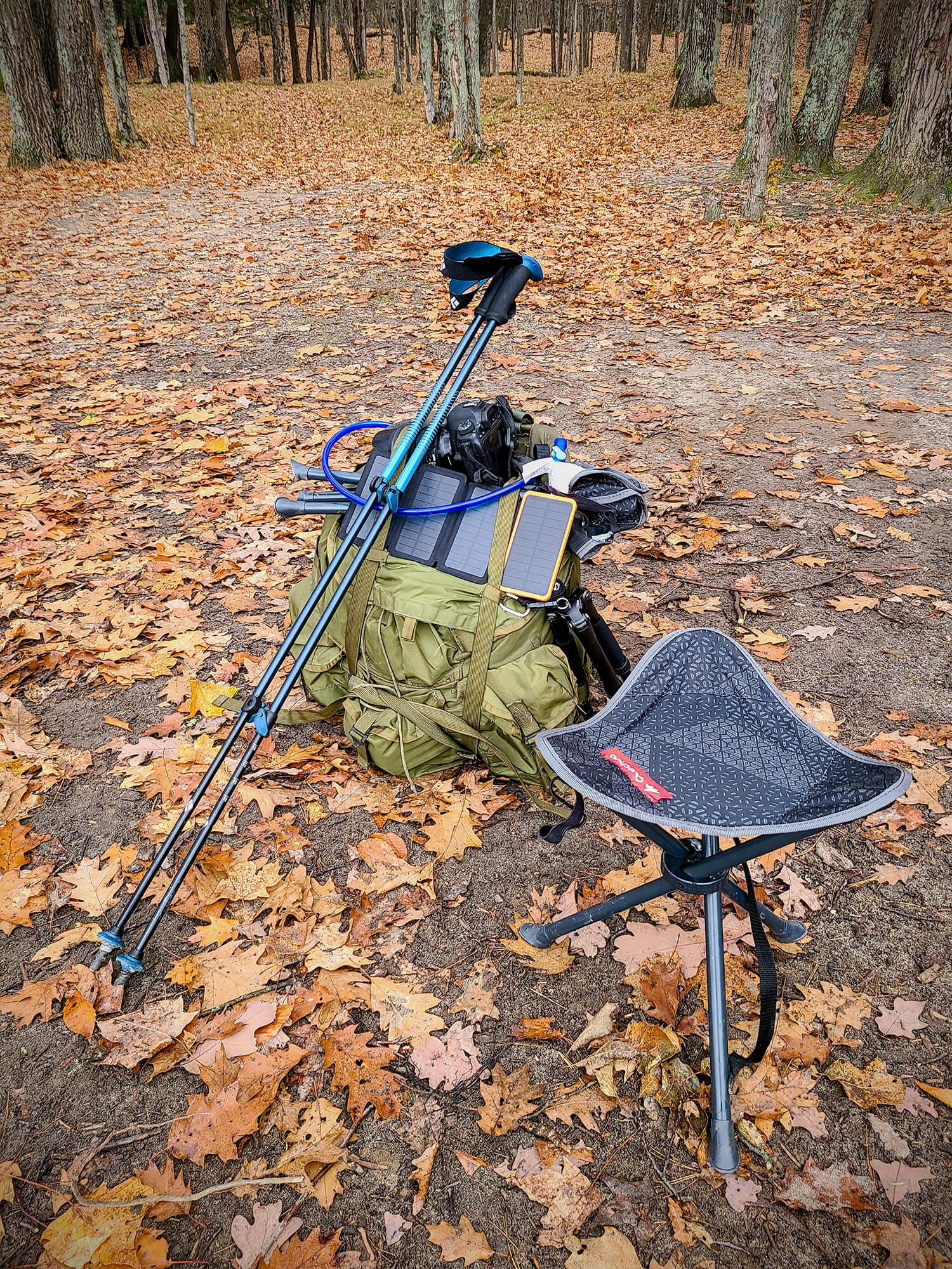
Loadout when packed
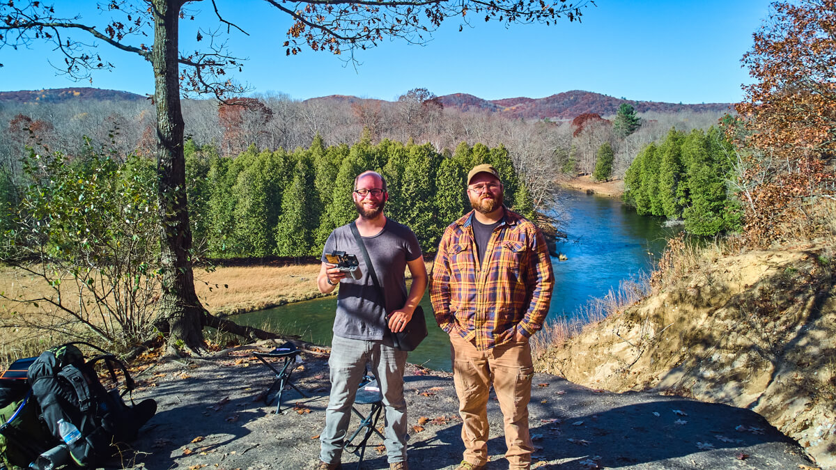
The crew
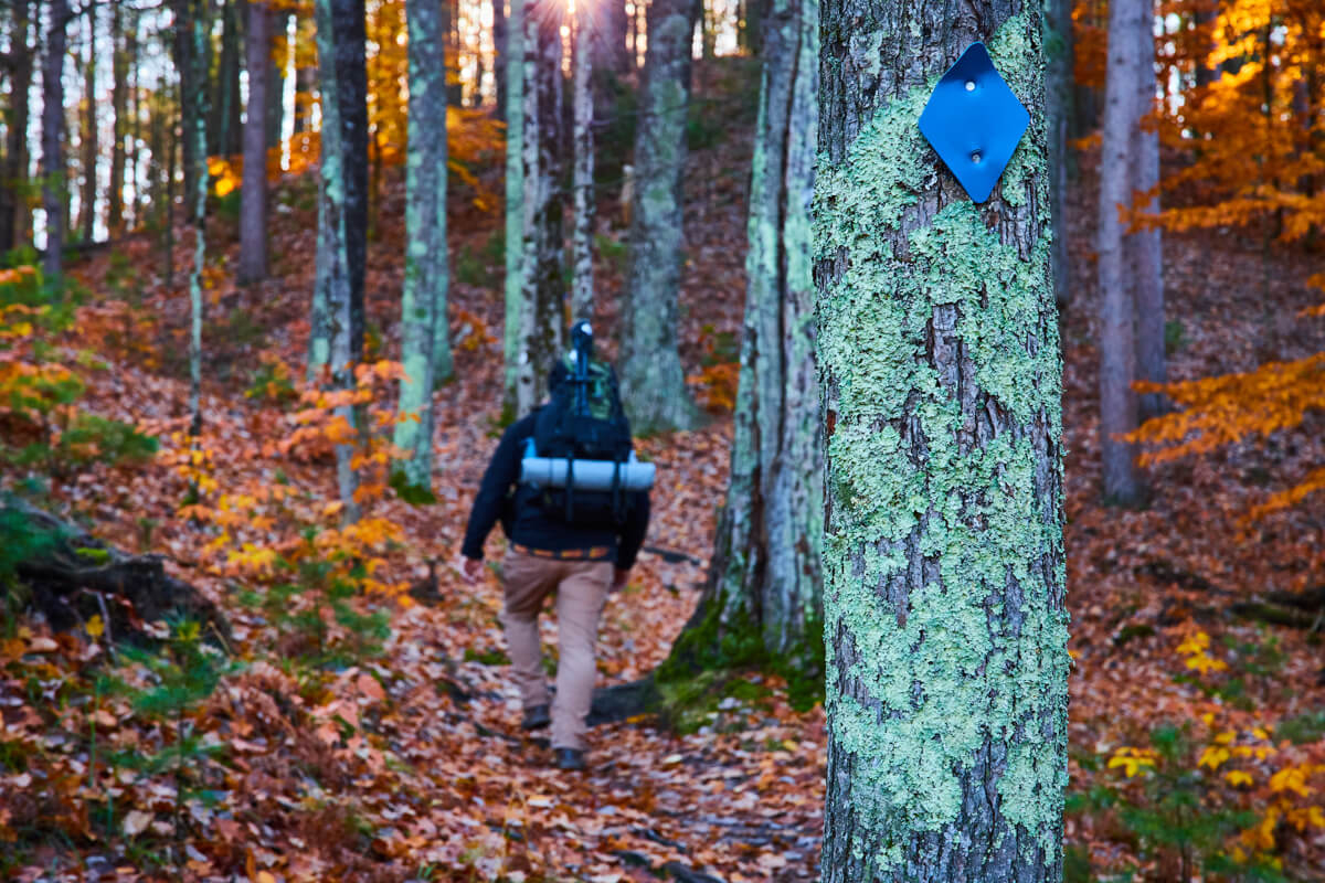
Along the trail
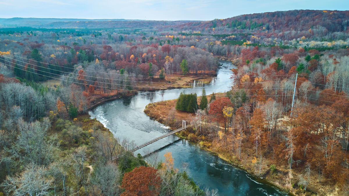
Suspension Bridge from above
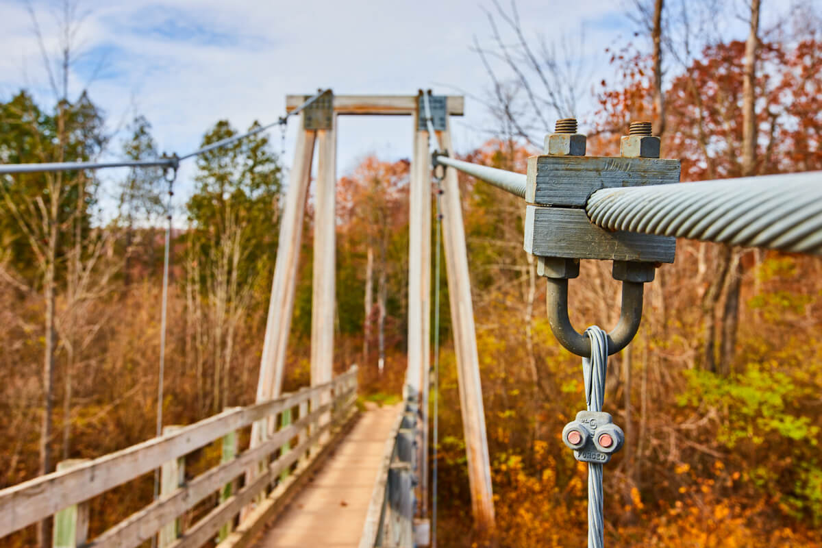
Detail of suspension bridge
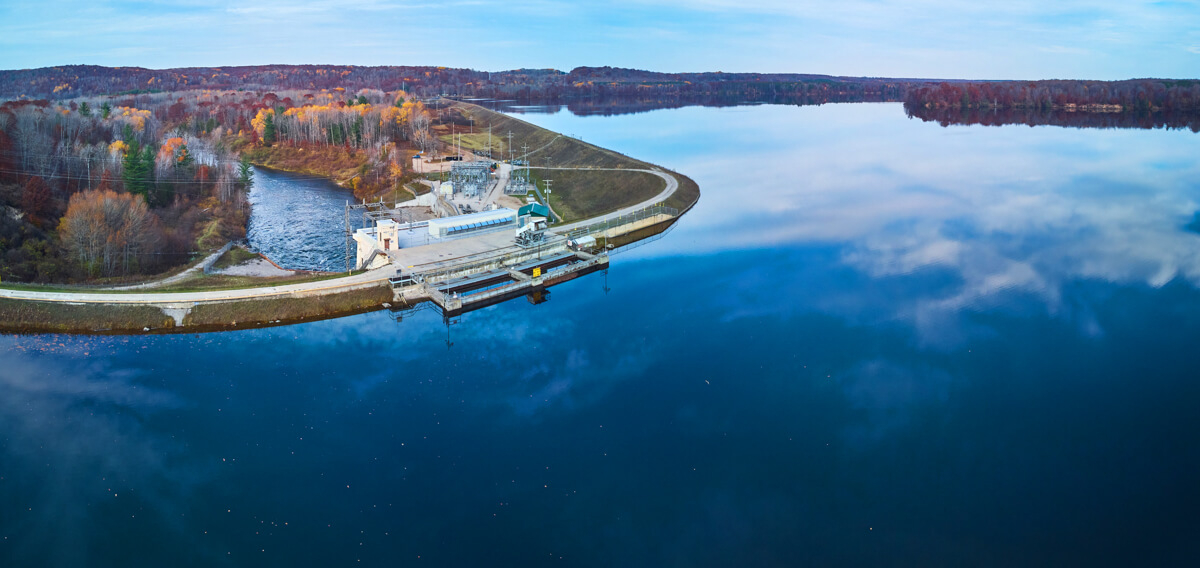
Hodenpyl Dam Aerial Panorama
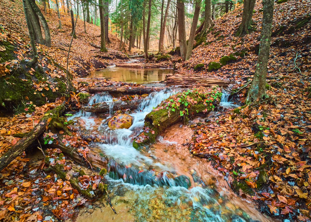
Stunning creek waterfall aerial panorama
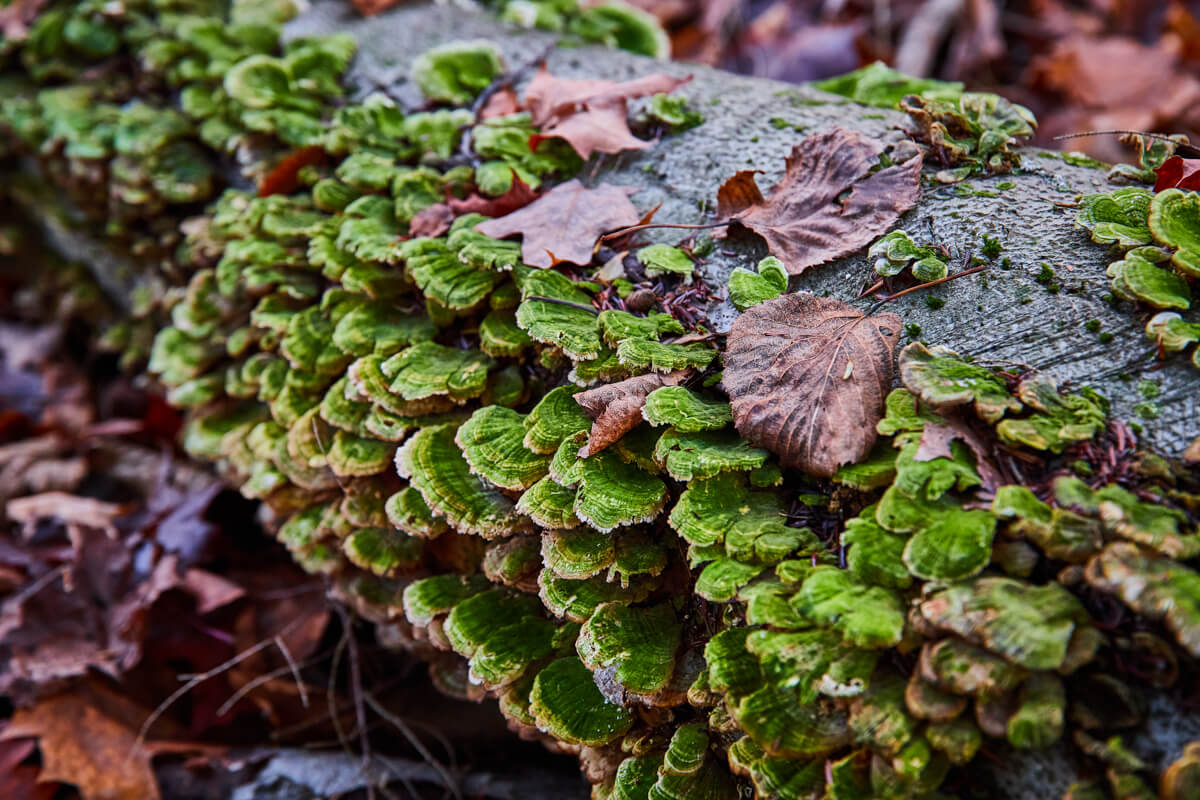
Fungi everywhere
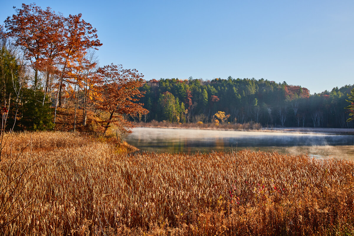
Light fog over the river in morning
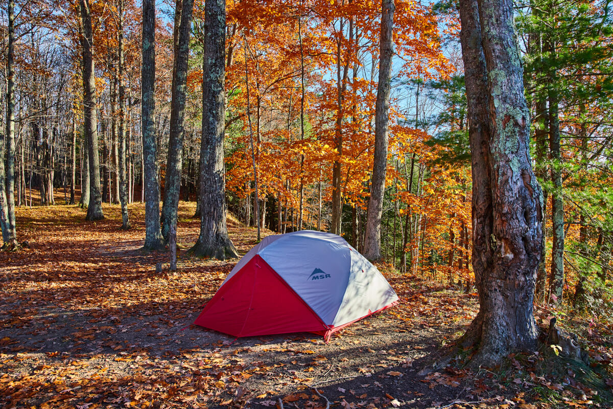
The campsite
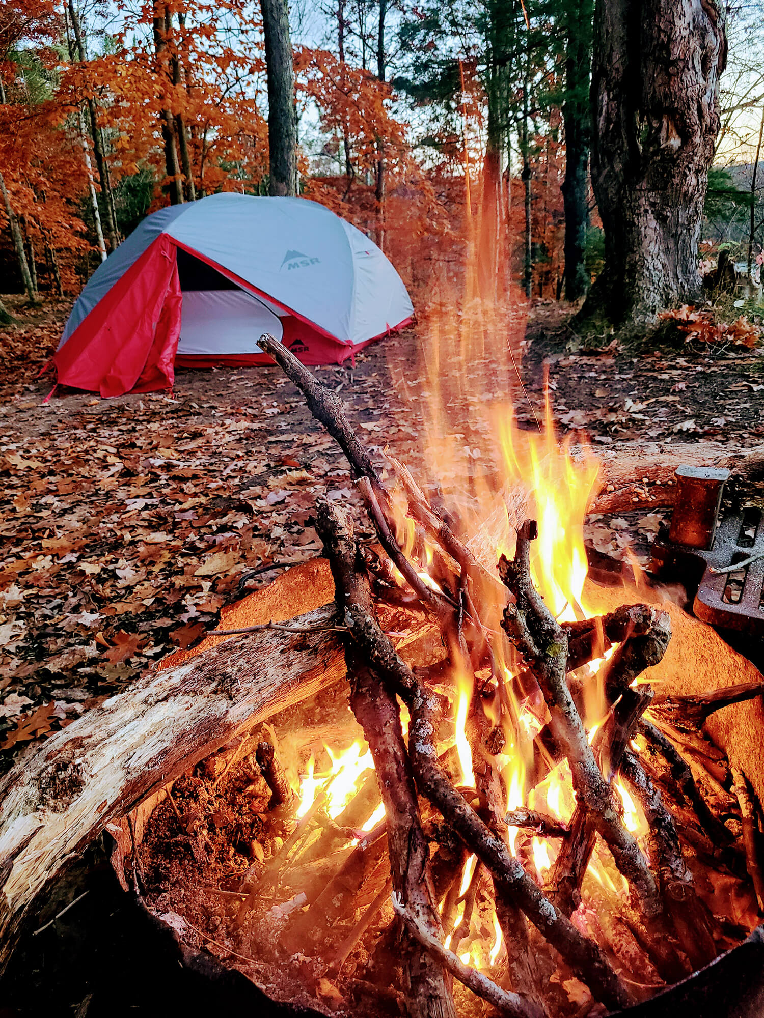
Fire for the evening
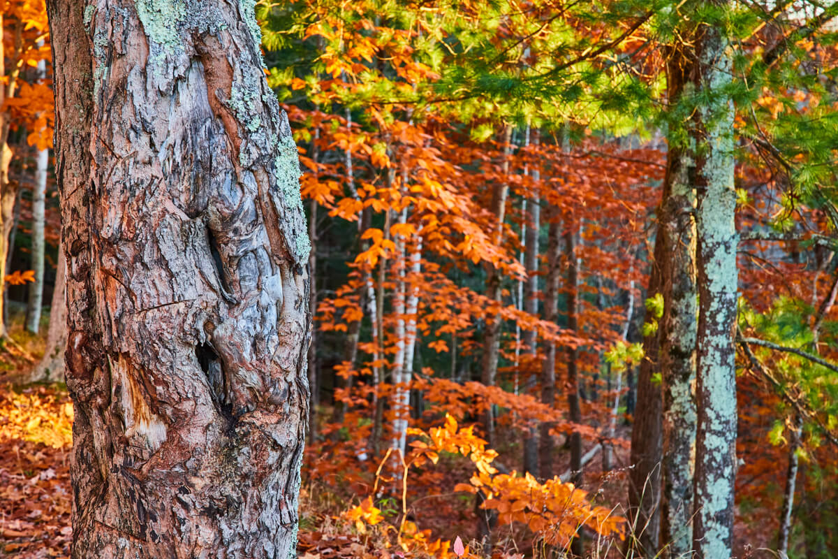
Forest detail
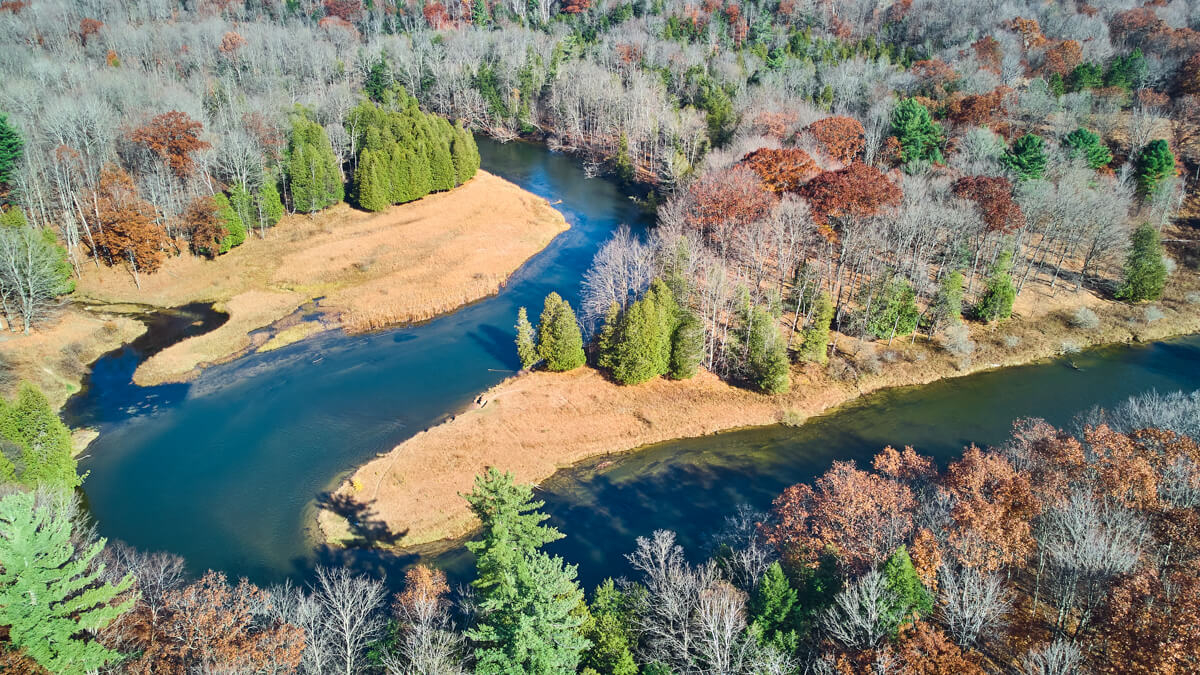
180 River twists
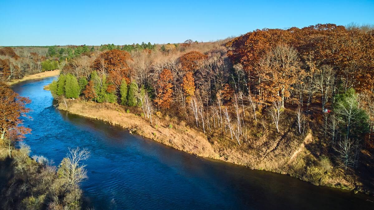
Can you spot us?
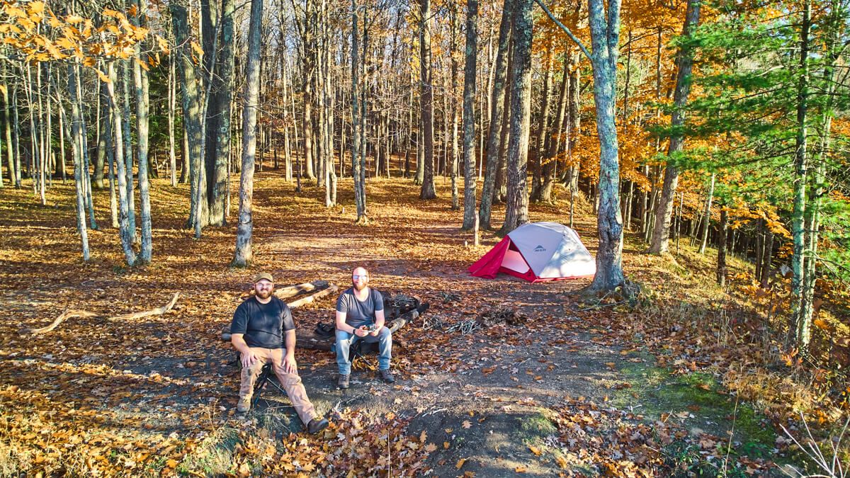
Camping on the edge
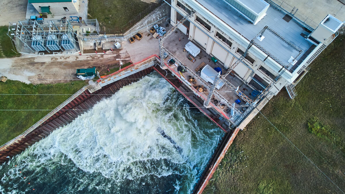
Right over Hodenpyl Dam
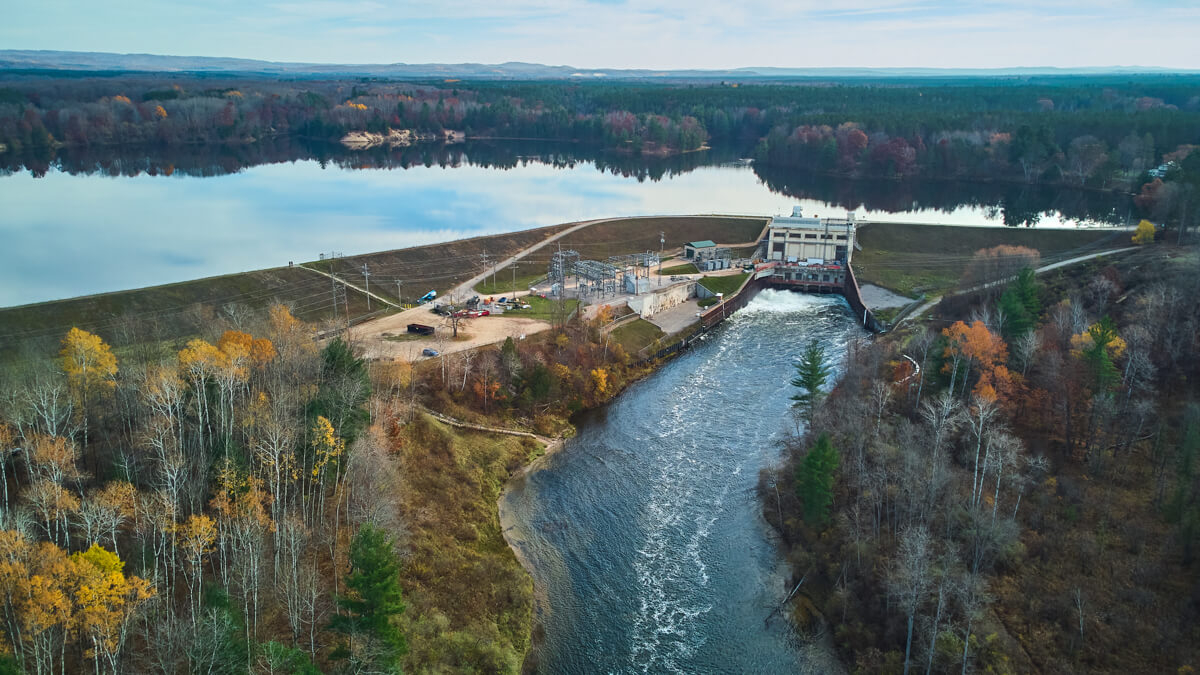
Aerial of Hodenpyl Dam / Pond
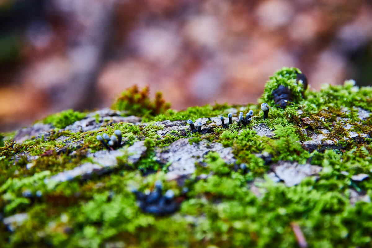
Fungi detail
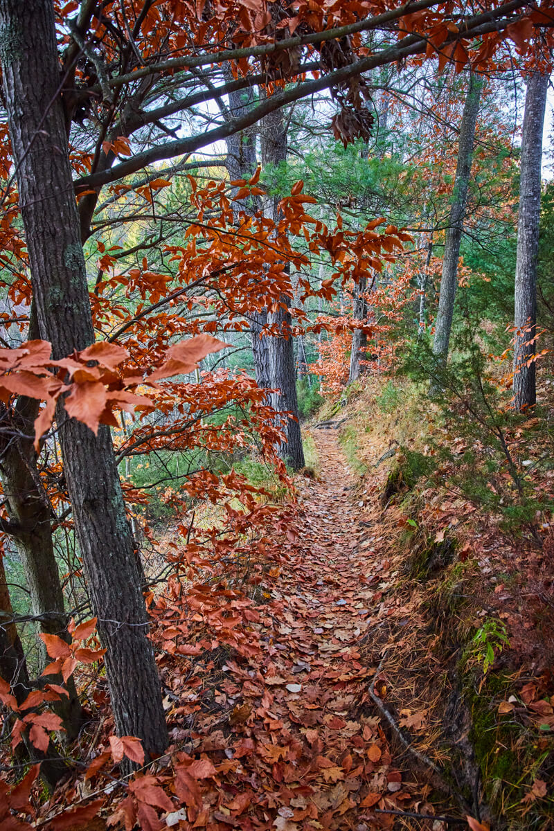
The Trail
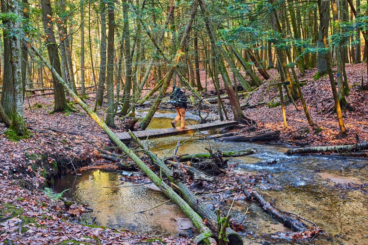
Bridges over creeks
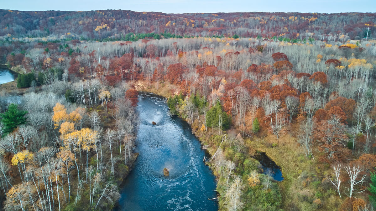
Aerial over rivdr
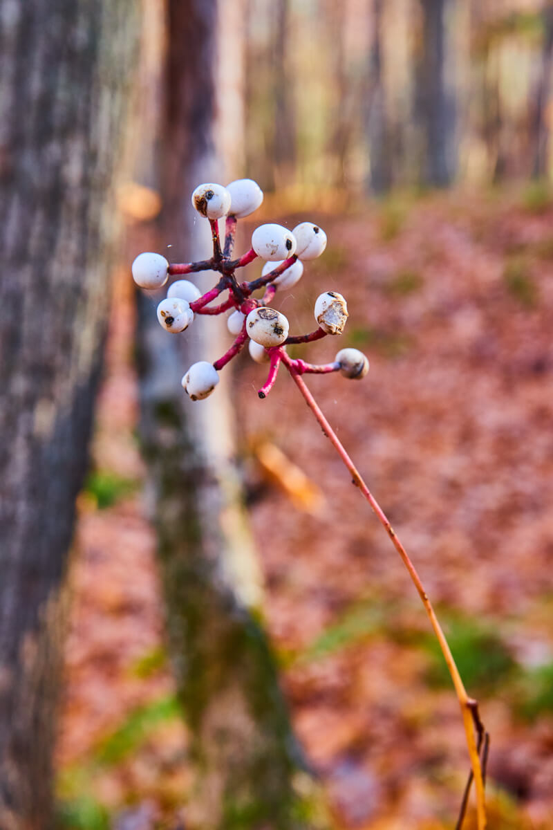
Detail of White Baneberry plant
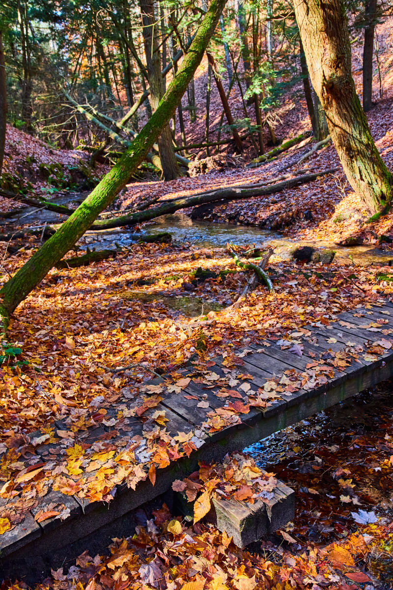
Fall leaves covering bridge
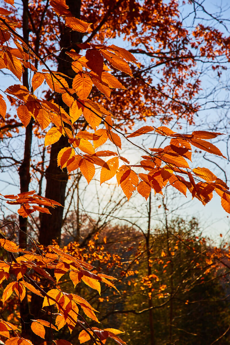
Golden leaves with glow of sun from behind
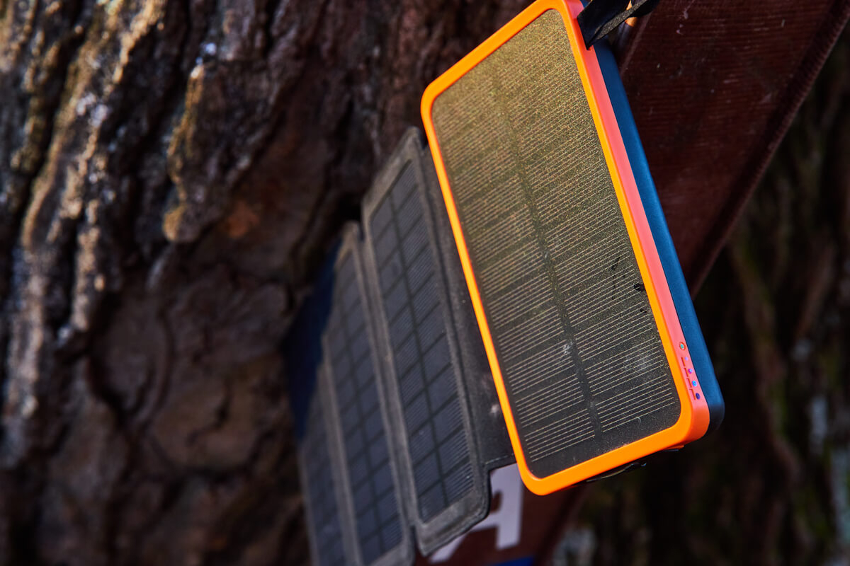
Solar charger doing good work
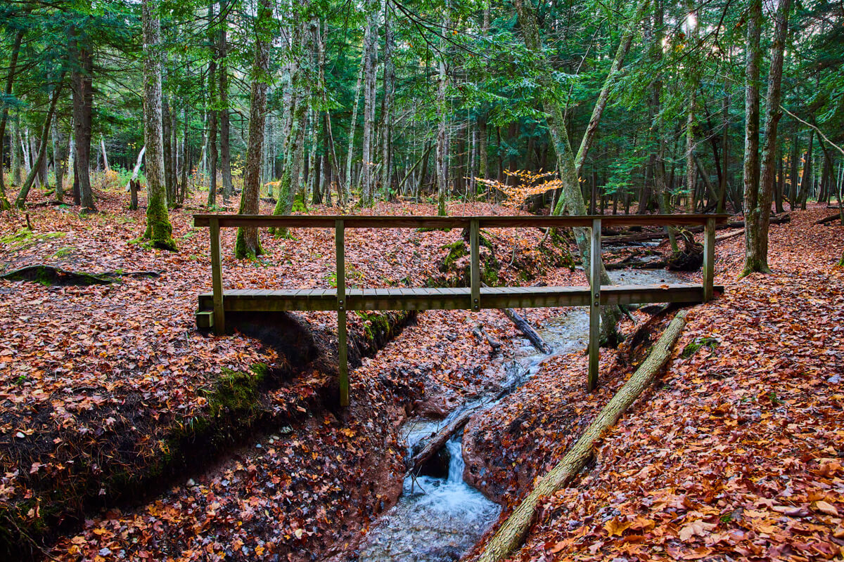
Bridge over smallwaterfalls
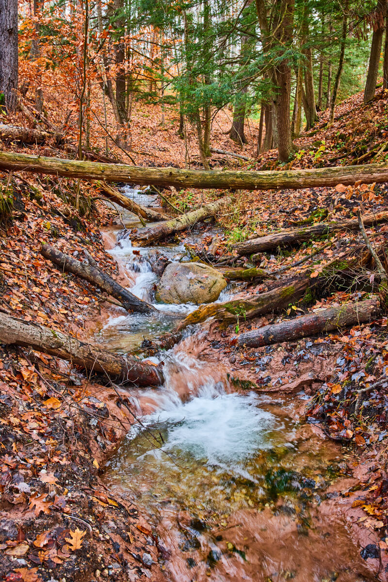
Waterfalls in creek
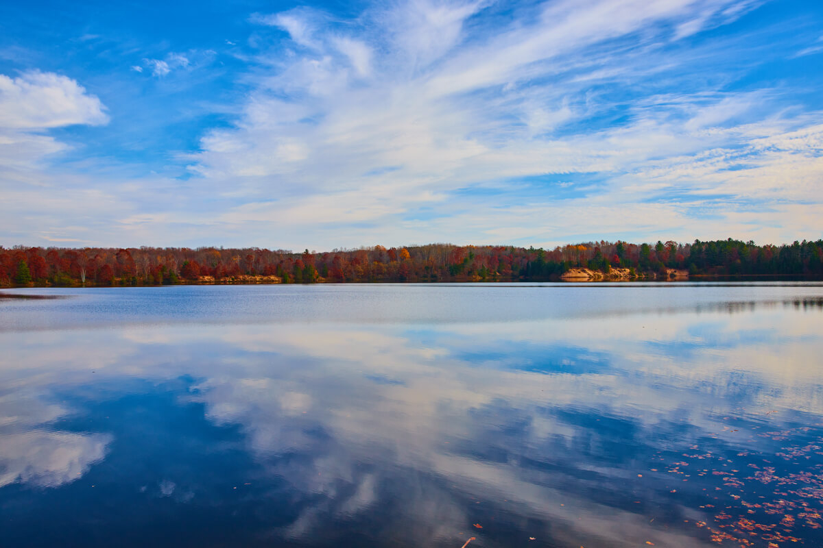
Hodenpyl Dam Pond

Milkweed Pods
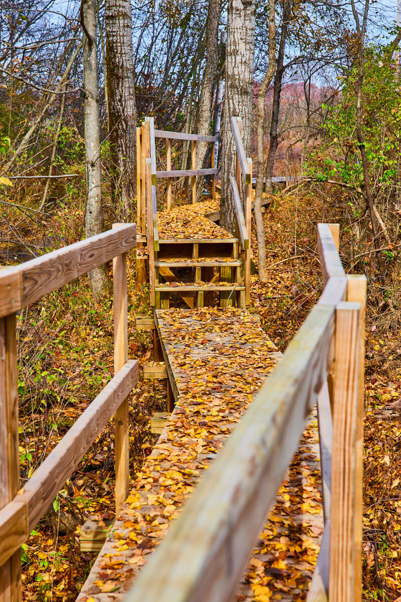
Leaves covering boardwalk
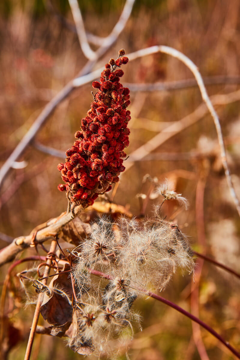
Gorgeous staghorn sumac
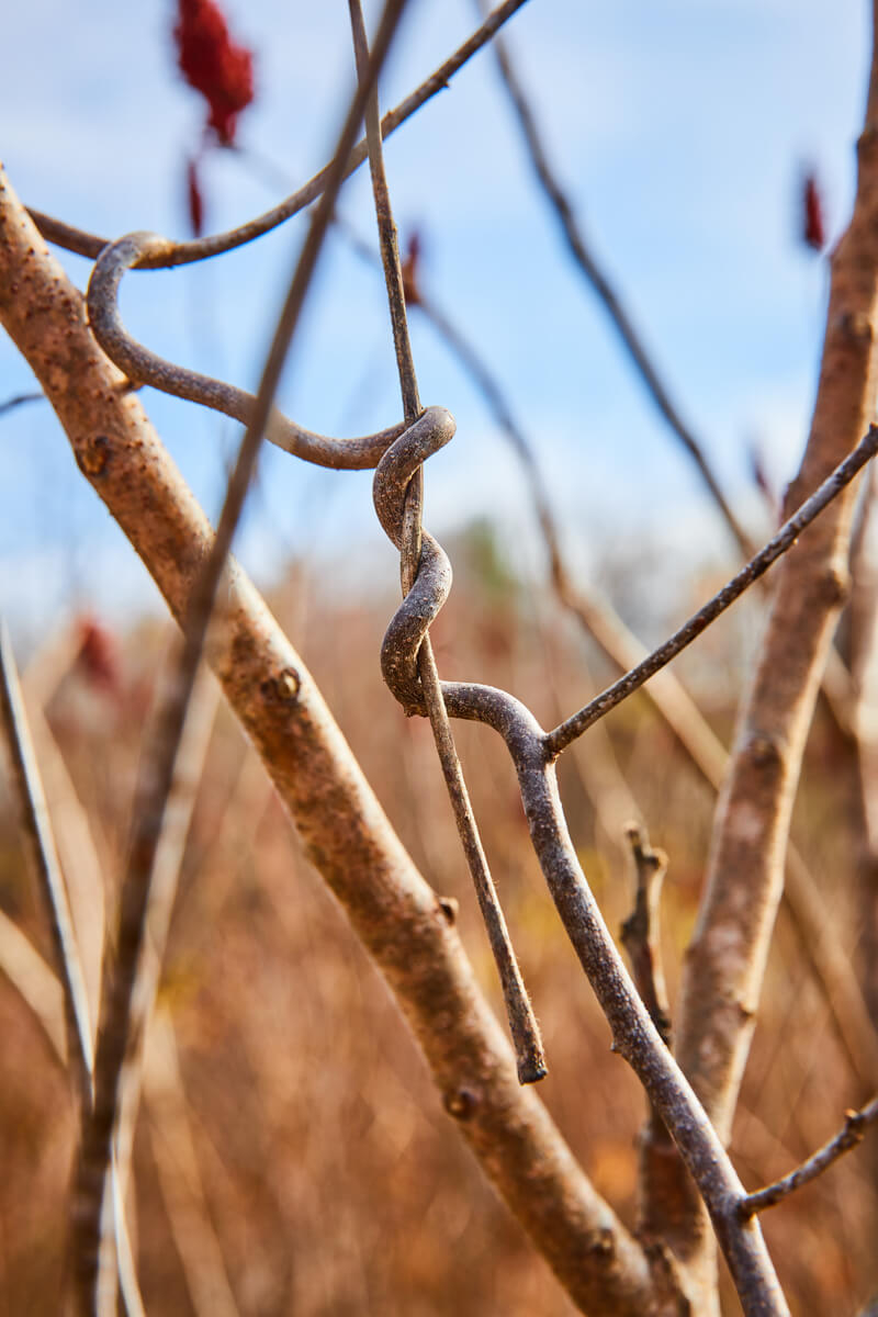
Winding branches
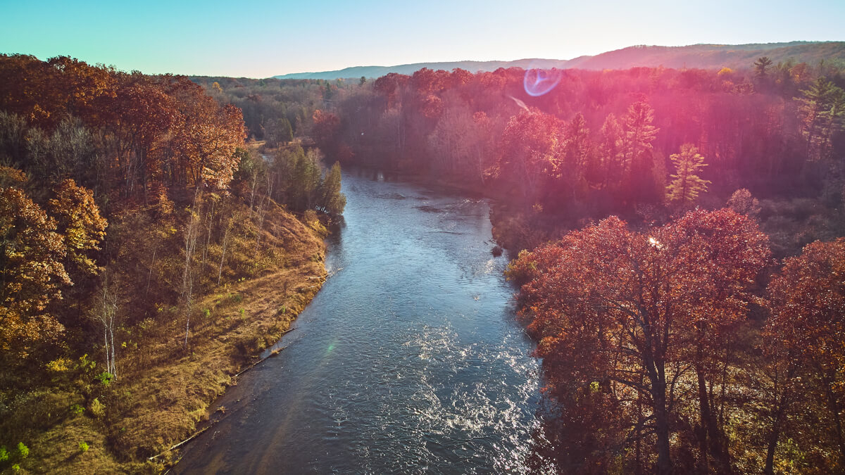
Flying into the sun
Recent Blogs
Four Seasons from Above in Downtown Fort Wayne, Indiana
Unlocking the Power of QR Codes

About the Author
Founder and visual artist, specializing in all aspects of a businesses presence from imagery and video to graphics and web. A graduate of IPFW with a Bachelor in Fine Arts, Concentration Photography as well as an Associates Degree in Business. His personal photography works are focused on landscape, travel, and aerial photography.


